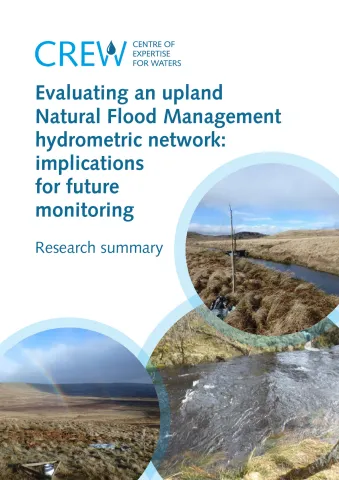
This project sought to assess the hydrometric network of the River Knaik catchment (37 km2) in Perthshire in terms of fitness for purpose and quality of the data collected to date for evaluating Natural Flood Management (NFM) measures. Rainfall and stream gauges were installed to measure the hydrological response to land use changes brought about by NFM. This evidence was needed to evaluate NFM in the catchment and inform future schemes.
The project found that the locations of the sensors to monitor hydrological change were appropriate given the planned NFM measures (peatland restoration, reduced sheep stocking density and tree planting). However, owing to technical problems and maintenance issues, the data quality was not sufficient to evaluate the effectiveness of measures for mitigating flood peaks.
Based on this assessment, options for redeploying the monitoring network elsewhere, alternative monitoring approaches and improving the current network were outlined. Of wider relevance to the practice of NFM hydrometric monitoring, this assessment highlighted the importance of long-term monitoring for reliable evaluation, the need for long term funding commitment (e.g. supporting staff to download and maintain the equipment) and technical input from a hydrologist. A research summary is provided below.
| Attachment | Size |
|---|---|
| Research Summary | 1.67 MB |
