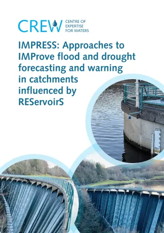
IMPRESS investigated improved methods for forecasting of floods and droughts where these are influenced by reservoir operations. A strong capability to forecast sub-hourly river flows a week ahead for flood warning/guidance purposes has been developed by SEPA, using hydrological and hydraulic models of rivers in combination with weather model predictions of precipitation. However, the effect of reservoir operation is not well represented and this can impact adversely on the quality of flow forecasts at locations downstream of reservoirs.
Reservoir operators have developed their own procedures for managing reservoirs to meet often a primary purpose of public water supply (Scottish Water) or hydropower generation (e.g. SSE Renewables, Drax). Longer time-horizons (weeks, months, a year or more) are of greater importance to these reservoir operators. SEPA, as a water resource regulator, also wishes to extend its forecasting capability to longer lead-times and drought flows. Both SEPA and the reservoir operators have developed monitoring, modelling and forecasting capabilities aligned to their respective priorities. The IMPRESS project has identified clear benefits in sharing and jointly developing some of these capabilities at times of both flood and drought that are in the public good.
IMPRESS undertook a review of current practice, identified possible improved approaches, and made recommendations for realising benefits through partnership working and future joint programmes of work.
The research suggested the following priority activities: (i) developing a tailored reservoir routing module (with outlet structures and control rules) to work within existing modelling frameworks, (ii) formulating improved procedures for modelling catchments (across the full range of flows) with ungauged areas and influenced by reservoirs, (iii) investigating the water balance of reservoirs, supported by case studies, with benefits to drought planning for water and hydropower supply, (iv) making better use of longer (weeks to seasons) meteorological predictions in reservoir operation and drought forecasting, accounting for their uncertainty, (v) sharing of information on reservoir geometry, operation and monitoring, along with developments in river flow forecasting capability over time-horizons of hours, weeks and months.
A Road Map of activities with a 10-year vision is proposed, guided by a Reservoir Working Group and Partnership Days.
| Attachment | Size |
|---|---|
| CRW2020_06 Main Report | 7.24 MB |
| CRW2020_06 Appendices | 7.26 MB |
