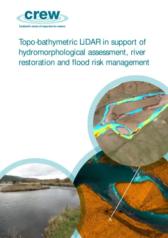
This project evaluated topo-bathymetric LiDAR* data for the Rivers Dee and Garry by assessing performance in terms of:
- accuracy
- spatial resolution (point density)
- completeness of data and
- measurement of water depth.
The research also considered aspects relating to the quality of the provided datasets. This report discusses the outcomes of these investigations and discusses factors influencing the 2 results. In addition, consideration is given to the potential
of topo-bathymetric LiDAR for classifying river typology, characterising hydromorphology and for supporting hydrodynamic modelling applications. These are criticalactivities in terms of water body condition assessment and management. The specific research questions that this report responds to are:
- What are the strengths and limitations of topo-bathymetric LiDAR?
- Can this technology be used to improve river typology classification?
- Is it possible to derive detailed hydromorphological assessments?
- What is the potential for supporting 2D hydrodynamic modelling?
The main findings presented in this study can be summarized as follows:
- Topo-bathymetric LiDAR worked well for the River Dee where near-complete coverage of the river bed and good coverage of the water surface were achieved. This is likely due to good bed reflectance (gravel bed), combined with favourable water clarity. Due to very low flow conditions at the River Garry, performance was limited. This reinforces the need to evaluate likely success at potential sites prior to survey commission.
- Topo-bathymetric LiDAR was found to offer a similar accuracy and precision to conventional topographic LiDAR, with a mean discrepancy of 0.04 m. The mean error of the water surface and bed points was between 0.04 and 0.07 m.
- Topo-bathymetric LiDAR can provide good coverage of the river bed. For the River Dee, >95 % of the river bed was captured. The measured spatial resolution (point density) of bed points here is 15 points/m (single flightline). This is very similar to the spatial resolution of points over dry terrain.
- Use of a single green laser produces relatively few returns from the water surface compared to the river bed, and the coverage of water surface returns is highly variable. Automated identification of water surface points is still very challenging, particularly for complex topography (e.g. River Garry), but is important in order to enable refraction correction. This is one of the current limiting aspects to a more automated and reliable workflow.
- Depths shallower than approximately 8 cm cannot be measured because the signals from the water surface and river bed cannot be distinguished. This is a fundamental limitation of most commercial LiDAR systems. The Riegl VQ-880-G instrument used here has been designed with a very short laser pulse duration to minimise this effect.
- Topo-bathymetric LiDAR can contribute to various river management tasks including assessment of existing morphological typology and identification of hydromorphological features. While this was assessed here in a theoretical manner, it should be achievable through basic interrogation of LiDAR data in combination with expert hydromorphological input. More automated classification is feasible, but the effort required to reliably achieve this should not be underestimated.
- Topo-bathymetric LiDAR offers potential to enhance hydrodynamic models – e.g. for flood risk and mesohabitat modelling. Such models currently rely on field surveyed cross-section data (or approximations) to represent the channel. Provision of a combined channel and floodplain DEM will allow models to be parameterised with more reliable and continuous topographic information.
- It is challenging to coordinate topo-bathymetric LiDAR surveys with ‘ideal’ flow conditions. Flows which are too too low will cause difficulties due to very shallow depths (e.g. River Garry). Conversely, higher flows may produce more turbulent conditions, which present challenges for capturing the water surface and possibly also the bed. ‘Average’ flow conditions (e.g. Q50 discharge) are most conducive to successful capture.
*LiDAR is a surveying method which is often used to create high-resolution maps. It measures distance to a target by illuminating the target with pulsed laser light and measuring the reflected pulses with a sensor
| Attachment | Size |
|---|---|
| Main report: Topo-bathymetric LiDAR | 5.31 MB |
